Services
Choose the record the property needs.
We scope the question first, capture the approved views, and deliver one private, organized record for the decision in front of you.
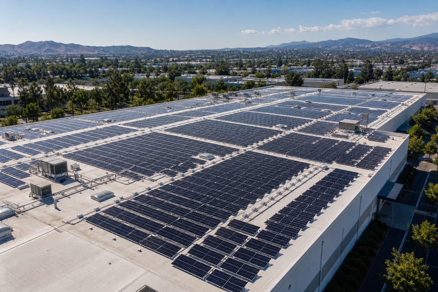
Solar asset documentation
Array overview, installation progress, repeatable visual records, and optional thermal capture when separately scoped.
Explore service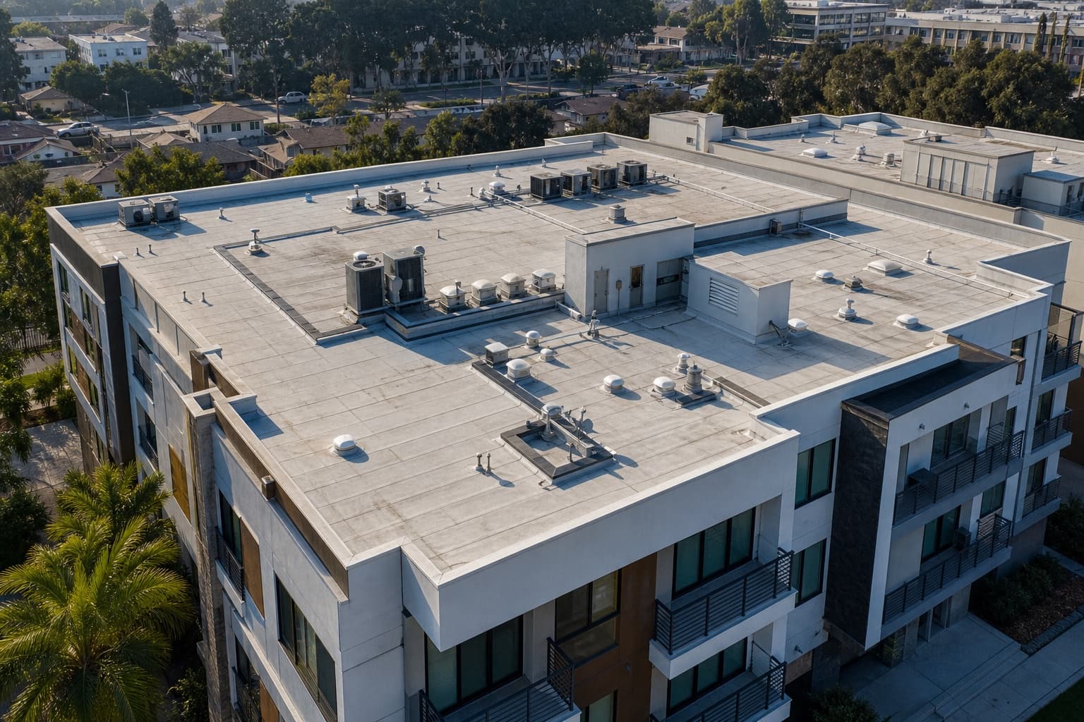
Roof & exterior documentation
Top-down and oblique detail, access points, rooflines, and facades captured as a condition-focused visual record.
Explore service
Property presentation
Aerial context for listings, leasing, ownership updates, and property decisions where ground-level media is incomplete.
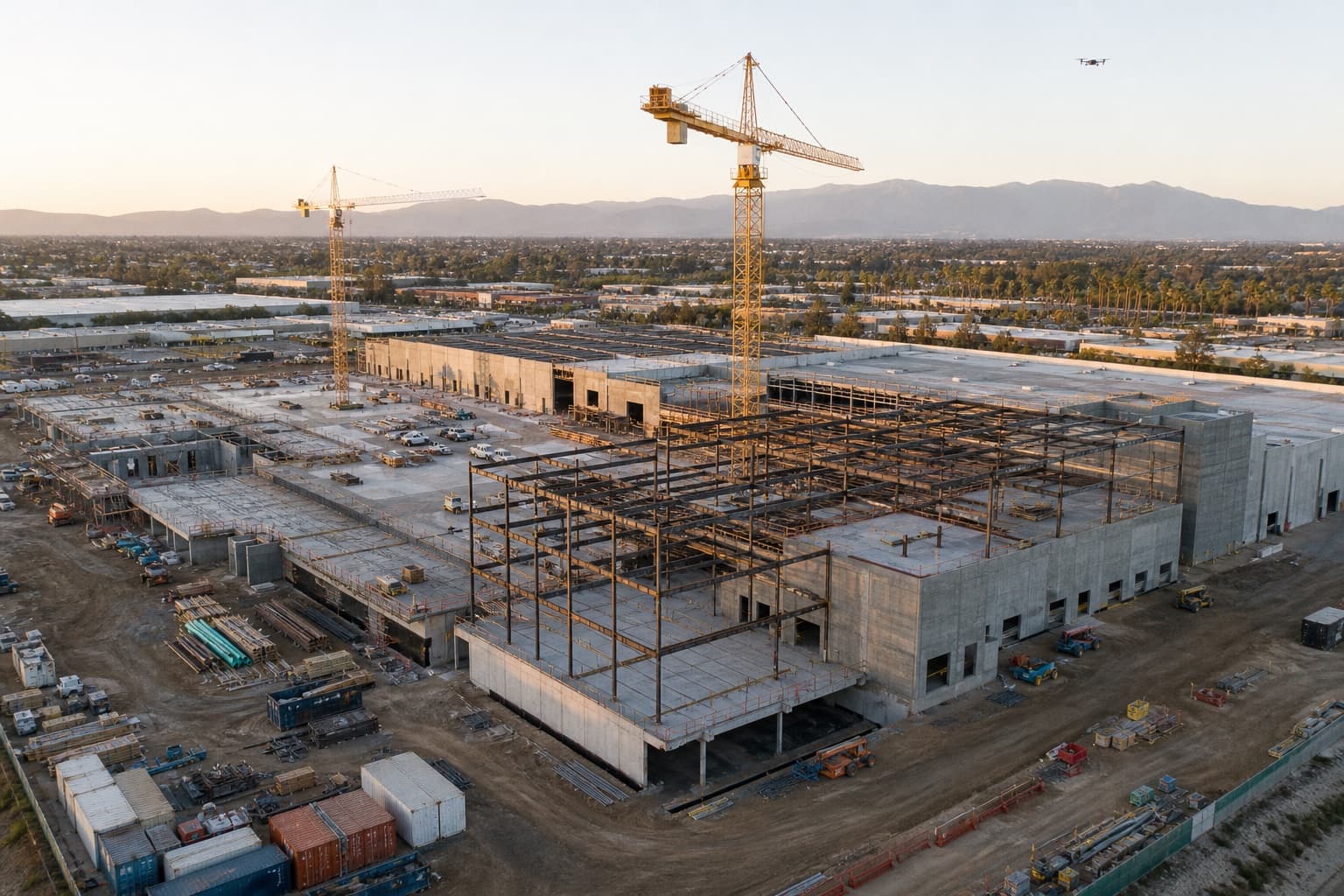
Explore serviceConstruction progress documentation
Repeatable angles, milestone captures, dated visual history, and stakeholder-ready updates for active sites.
Explore service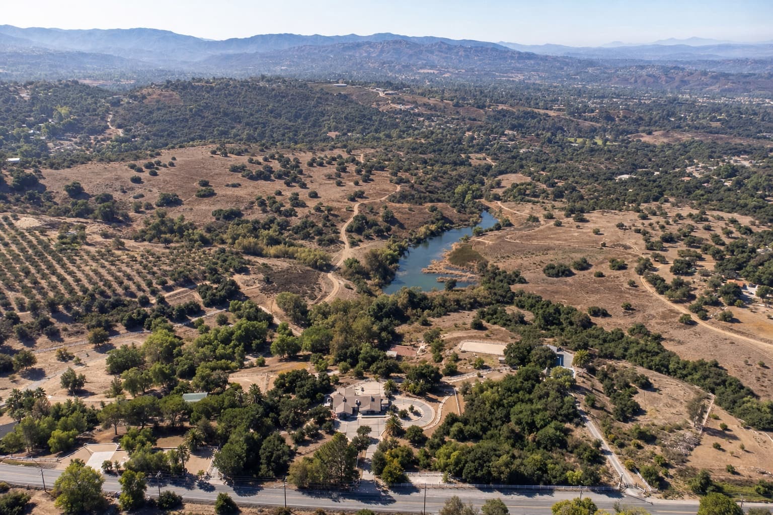
Land & acreage overview
Broad property context, access routes, vegetation, structures, fields, and repeatable records for landowners and operators.
Explore service
360 & immersive review
360 views and short walkthrough-style media for remote review, discussion, and client portal delivery.
Explore service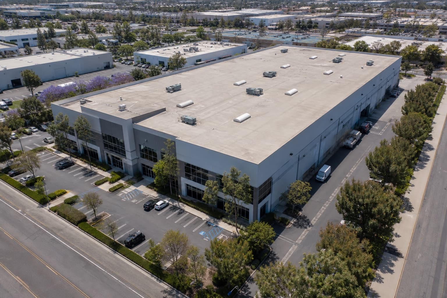
3D & model-ready delivery
Support for third-party model viewers and embeds when a richer spatial reference is useful.
Explore service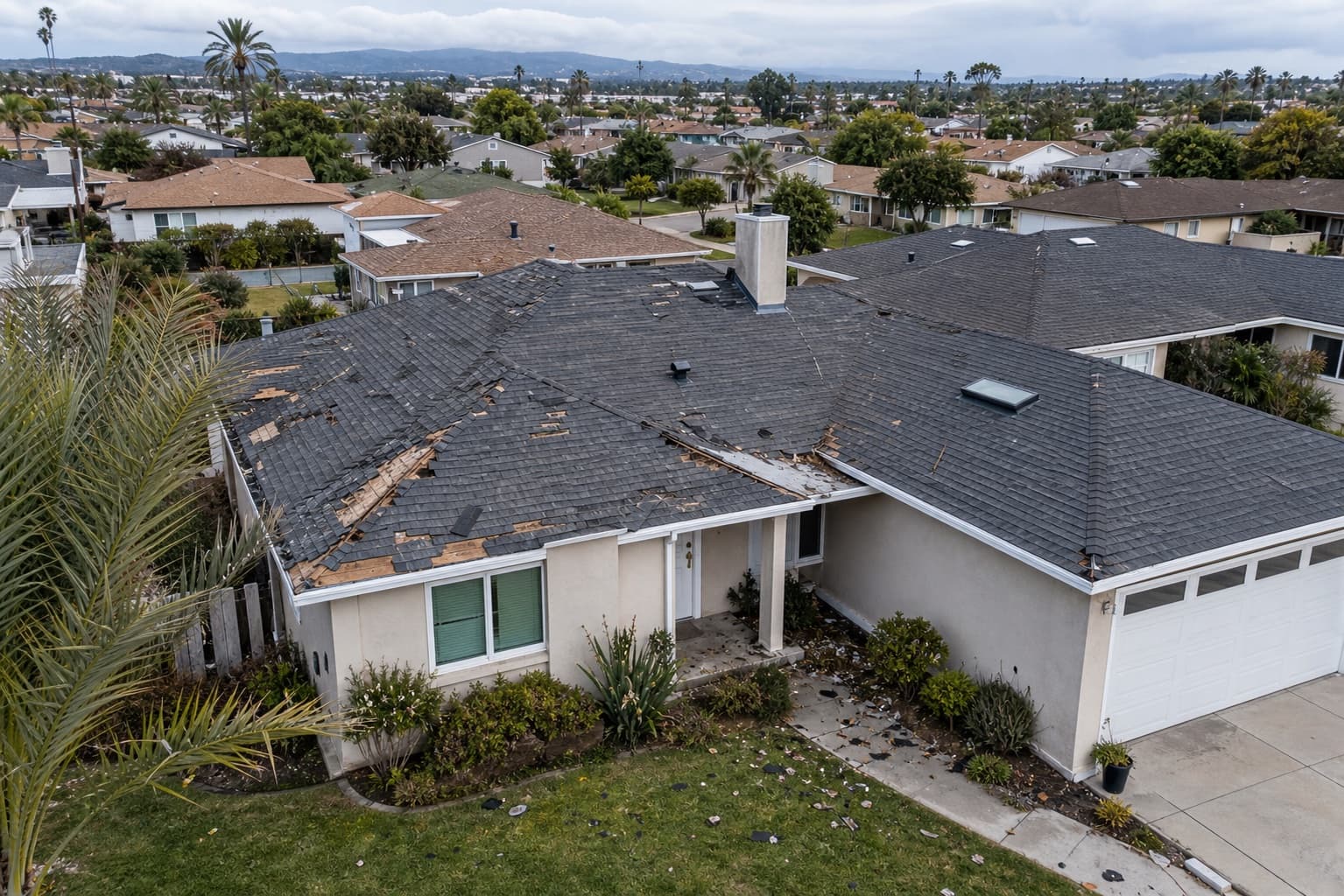
Insurance & claim documentation
A dated, organized visual record of property condition for storm damage, claims, and disputes — ready to share with your insurer.
Explore service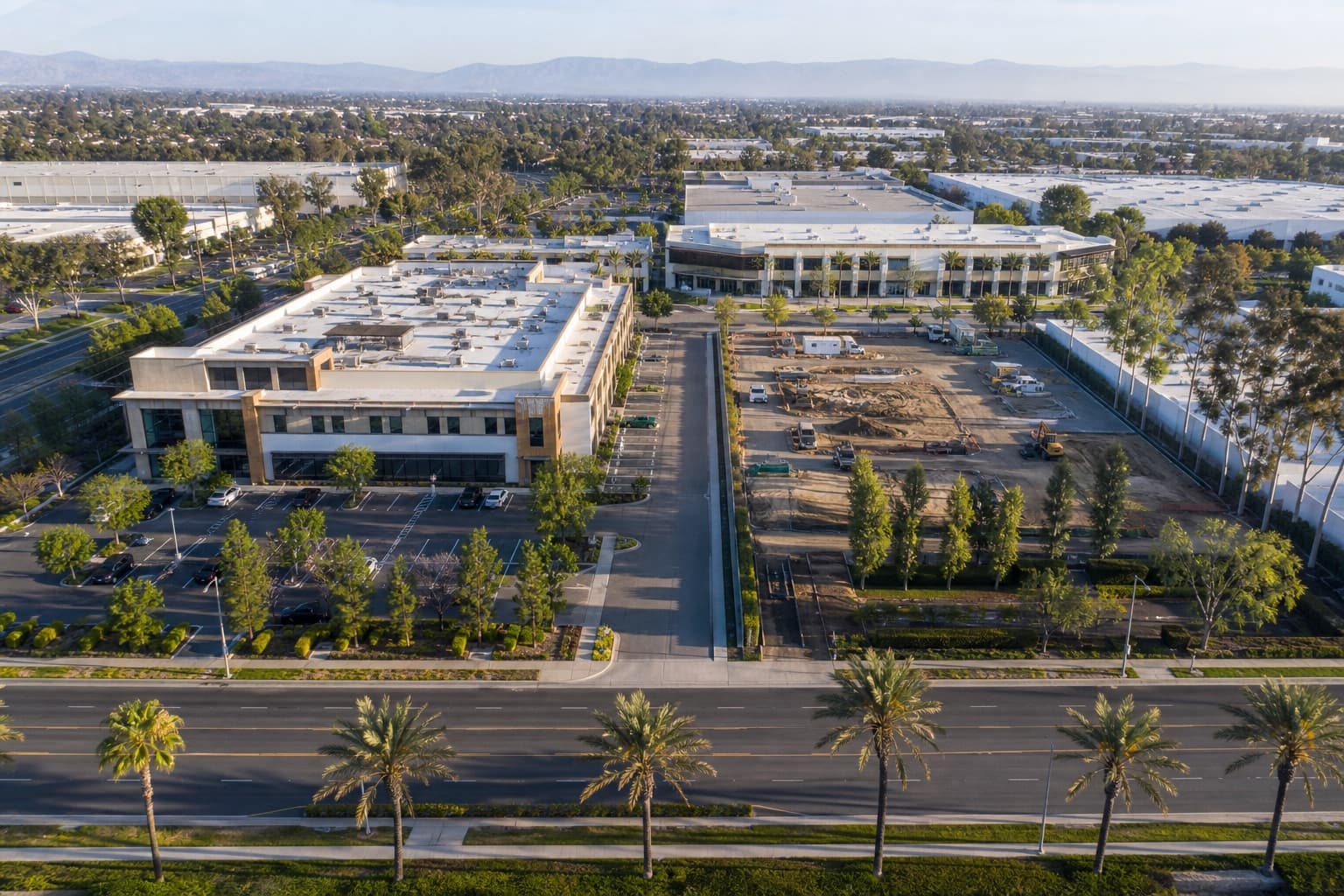
Recurring site monitoring
A scheduled program that captures the same angles over time, so change across a property or portfolio is easy to track.
Explore service